Imagine you’re deep in the backcountry when the unexpected happens, and you’re suddenly in a SHTF situation. You’ve got your Garmin inReach Explorer+ at hand, a device renowned for its robust GPS navigation and satellite communication capabilities, including an SOS feature for emergencies.
It’s tools like these that can make a significant difference in survival scenarios, offering not just a lifeline but also peace of mind. However, the Garmin inReach Explorer+ is just the tip of the iceberg. There’s a whole world of GPS and communication devices out there, each with its own set of features tailored to varying needs and preferences.
As you prepare for the unpredictable, it’s crucial to explore which devices offer the best blend of reliability, functionality, and user-friendliness to ensure you’re never truly lost or out of reach, no matter how dire the circumstances.
Key Takeaways
- GPS signals can be disrupted, so it is important to have alternative navigation tools and skills.
- Map reading and compass orientation provide reliable and accurate navigation capabilities.
- Star navigation techniques offer an alternative when GPS signals are compromised.
- Handheld GPS devices are revolutionizing navigation with global coverage and reliable positioning.
Understanding GPS Limitations
While GPS technology offers invaluable navigation and communication capabilities, it’s important to recognize its vulnerabilities, including susceptibility to jamming, spoofing, and various environmental limitations.
You’ve likely come to rely on the Global Positioning System (GPS) for everything from finding your way in unfamiliar territory to tracking your outdoor adventures. However, it’s crucial to understand that GPS signals can be disrupted by electromagnetic pulses, direct attacks on GPS satellites, or even compromised cell service. This poses a significant threat to GPS reliability and your ability to communicate or navigate when you need it most.
Moreover, your navigation devices’ position accuracy can suffer in the face of tall buildings, dense forests, canyons, and adverse weather conditions. These obstacles can block or interfere with satellite reception, making it challenging to pinpoint your exact location. In such scenarios, a device with a barometric altimeter might offer an additional layer of reliability by measuring altitude, a feature that can be especially useful when GPS signals falter.
Alternative Navigation Tools
After understanding the limitations of GPS, it’s crucial you’re equipped with alternative navigation skills.
You’ll find that mastering map and compass basics, alongside star navigation techniques, can be invaluable in a pinch.
These skills ensure you’re not left stranded when technology fails you.
Map and Compass Basics
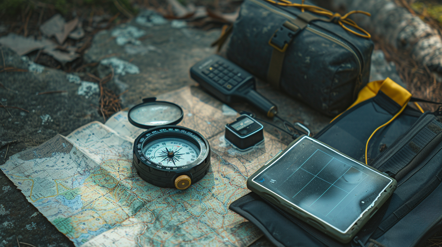
Understanding how to use a map and compass is vital when modern navigation tools fail. Even when you’re accustomed to using a GPS for navigation, the reliability and position accuracy of traditional map and compass techniques can’t be understated. By integrating paper maps, especially topographic maps, into your planning, you gain a clear advantage in understanding the terrain.
- Learn to read topographic maps to visualize the terrain without the need for free spatial data.
- Practice orienting your map with a compass to ensure accurate navigation capabilities.
- Understand how to plot waypoints and tracks manually, enhancing your skill set beyond GPS navigation.
- Familiarize yourself with the compass for precise direction finding, complementing your use of paper maps in the absence of electronic aids.
Star Navigation Techniques
When modern navigation fails, turning to the stars as ancient navigators did can be a lifesaver in emergency situations. While handheld GPS devices, like Garmin, rely on satellite and maps from the United States Geological Survey for position accuracy, these might not always be available. Star navigation techniques offer an alternative when GPS signals are compromised.
| Device/Tool | Use Case |
|---|---|
| Handheld GPS Device | Relies on satellite for navigation in clear conditions |
| Maps | Requires updates; useful with GPS for terrain familiarity |
| Compass | Assists in orientation; pairs with maps |
| Star Navigation | Alternative when electronic devices fail; uses celestial bodies for navigation |
Learning these star navigation techniques enhances your survival skills, ensuring you’re prepared even when your primary navigation device fails.
Handheld GPS Overview
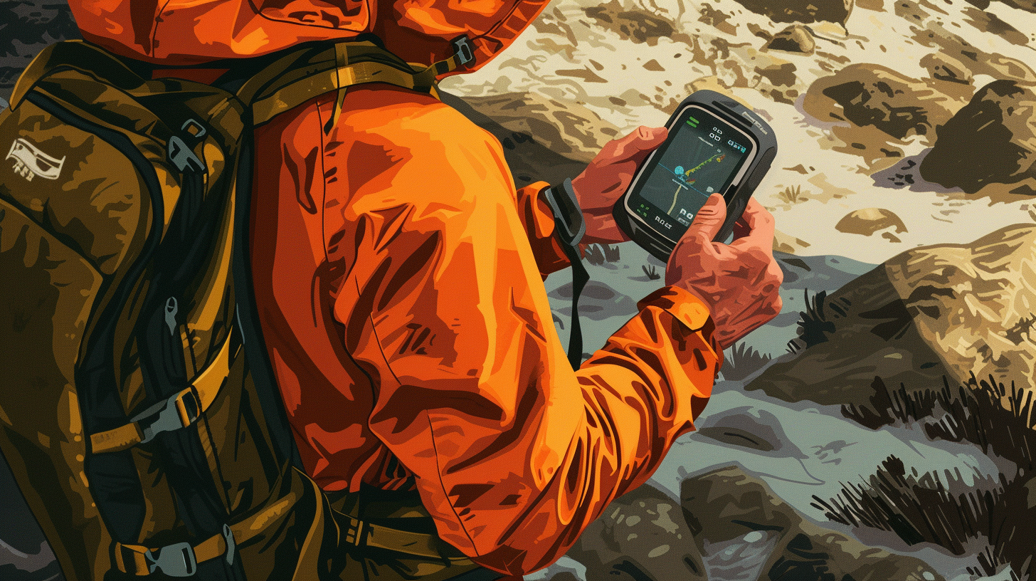
Handheld GPS devices have revolutionized navigation, making it easier for you to pinpoint your location anywhere on Earth. These compact, powerful tools tap into the GPS network, which consists of 31 satellites orbiting Earth, ensuring global coverage and reliable positioning. Whether you’re hiking in remote areas, prepping for emergencies, or engaging in outdoor adventures, a handheld GPS unit is indispensable for accurate navigation.
Notable features of handheld GPS units include:
- Positional accuracy enhanced by the Wide Area Augmentation System (WAAS): This system improves accuracy by correcting signal errors caused by atmospheric disturbances, making devices like the Garmin eTrex and Garmin GPSMAP even more reliable.
- Integration with multiple satellite systems: Besides the GPS network, some units are compatible with the European Union’s Galileo, offering redundancy and improved accuracy in challenging environments.
- Topographical maps and Satellite Imagery: Essential for detailed navigation, allowing you to plan routes with precision and understand the terrain.
- Rugged design and outdoor readiness: Handheld GPS devices are built to withstand harsh conditions, ensuring they remain functional when you need them most.
Incorporating these features, handheld GPS units like the Garmin eTrex and GPSMAP provide you with the tools necessary to navigate anywhere with confidence.
Top Handheld GPS Devices
Now that you’re familiar with the basics of handheld GPS devices, let’s compare some of the top models on the market.
You’ll see how features like battery life and weight vary across popular options, helping you make an informed decision.
We’ll cover the essential features of each device, ensuring you know what to look for when choosing the right GPS for your needs.
Essential Features Overview
Dive into the essential features of top handheld GPS devices, which include reliable accuracy, enhanced satellite connectivity, and seamless smartphone integration for up-to-the-minute weather updates. These elements make devices like the Garmin inReach and inReach Mini indispensable tools for any situation where you’re off the grid.
- Reliable Accuracy and Powerful Antenna: Ensures you’re never lost, even in challenging environments.
- Enhanced Satellite Connectivity: Connects to multiple satellite networks, offering greater accuracy beyond cell towers.
- Smartphone Integration: Allows for real-time weather updates and seamless navigation.
- Messaging and SOS Features: Equipped with satellite messaging capabilities, these devices ensure help is just a text away, making them essential for safety.
Whether you’re using a portable GPS for hiking or a ham radio for communication, these features are crucial.
Popular Models Comparison
When comparing top handheld GPS devices, it’s essential to consider their battery life, memory capacity, and screen readability to find one that best fits your needs.
| Model | Battery Life | Memory |
|---|---|---|
| Garmin GPSMAP 67i | 180-840 hrs | 16 GB |
| Bushnell BackTrack Mini | 24 hrs | 800 mAh |
| Garmin eTrex SE | 168-1,800 hrs | 28 MB |
| Garmin inReach Mini 2 | Up to 336 hrs | 1,000 waypoints |
| Garmin Foretrex 601 | 48 hrs | 3.4 GB |
Each device comes with its unique set of features. Whether you’re looking for long battery life, compact size, or a highly capable device that’s accurate to 3 meters, there are options available to suit your needs in the modern GPS landscape.
Choosing a Handheld GPS
Selecting the right handheld GPS requires focusing on its reliability and accuracy to ensure you never lose your way. When you’re navigating around unfamiliar territories, the best handheld GPS devices come equipped with features that enhance their ease of use and ensure that you can pinpoint your location via the most reliable means available on the market. Here are key aspects to consider:
- Powerful quad-helix antenna for superior reception: This ensures that your device can maintain a satellite connection even in challenging locations, such as dense forests or deep canyons.
- Connection to multiple satellite networks: Look for devices that support not only the American GPS system but also the Russian GLONASS network, for improved accuracy and reliability.
- Smartphone pairing for real-time data: Some GPS units can connect with your smartphone, offering real-time weather updates and detailed maps, adding an extra layer of safety and convenience.
- Built-in electronic compass and barometric altimeter: These features provide you with critical navigation information beyond just your location, making it easier to traverse various terrains.
Whether you opt for traditional handheld GPS units or modern GPS watches, ensuring these features are present can greatly enhance your experience and safety while exploring.
Essential Emergency Radios
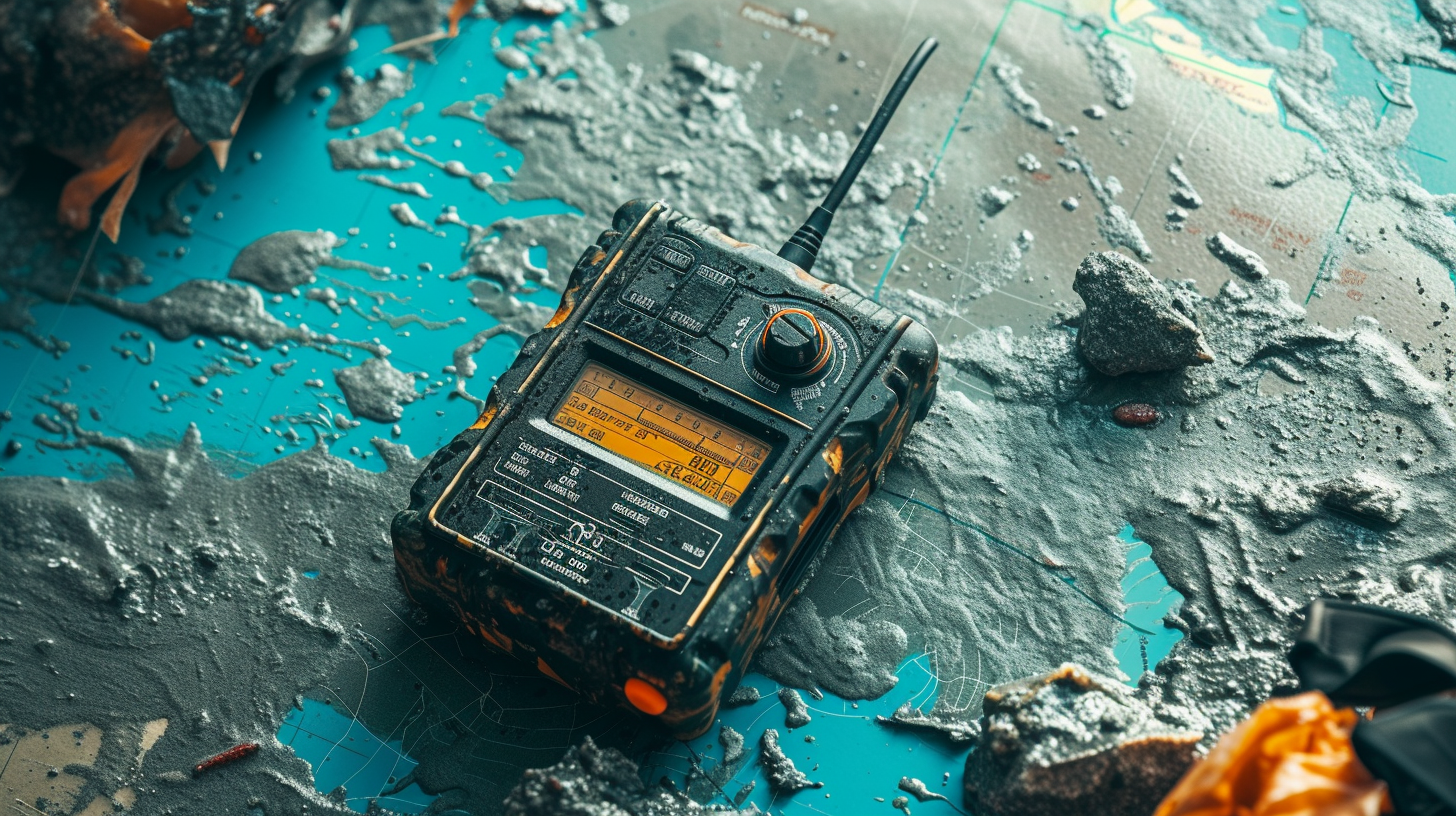
In the midst of a crisis, having an emergency radio becomes a lifeline, allowing you to stay connected even when traditional communication networks fail. Unlike your regular cell phone, these devices don’t rely on a cell signal, making them indispensable in remote areas or when networks are down due to malicious attacks.
For a GPS user navigating unfamiliar terrain, an emergency radio can be especially helpful, providing a means to communicate without depending on the often shorter battery life of a smartphone.
Most emergency radios, such as the Garmin inReach Explorer+, not only offer direct communication options but also include GPS navigation to guide you back to safety. Considering the possibility of extended emergencies, it’s wise to have a backup power source for your radio. This ensures you’re never left without a means to call for help or receive crucial updates.
Given their reliability in wide-spread emergencies, emergency radios stand out as a critical tool. They bridge the gap when cell service isn’t an option, ensuring you’re always within reach of help or can offer assistance to others, making them a must-have in your emergency kit.
Reliable Flashlight Options
Just as an emergency radio is crucial for communication during crises, a reliable flashlight is indispensable for navigating and ensuring safety in darkness. When you’re in a situation where the grid is down, or you’re stranded in an unfamiliar place, even the most advanced gadgets, including GPS units, require a physical source of light to ensure you can see the path ahead and keep moving in the right direction.
In our search for the best, we’ve tested numerous devices popular around the world and found that the most reliable flashlights share several key features:
- Powerful lighting capabilities that can illuminate dark spaces much longer than standard flashlights.
- Durable construction to withstand harsh conditions and rough handling.
- Long battery life or alternative charging options, ensuring they last even when you’re far from any power source.
- Intuitive user interface, making them easy to use and settings easy to share, even in stressful situations.
These flashlights not only complement your new GPS and communication devices by keeping your path lit but also ensure that, no matter where you’re around the world, you have the visibility to move forward safely.
Staying Connected in Emergencies
When emergencies hit, staying connected through reliable GPS and communication devices can be a lifeline, guiding you safely through chaos. With satellites orbiting the Earth, GPS provides everything you need to navigate and communicate, ensuring you’re always able to find your way back home or reach loved ones. It’s a good idea to familiarize yourself with various features such as tracking mode, which can be an ideal companion in uncertain times.
However, it’s crucial to understand that GPS technology faces threats like jamming, spoofing, and the impact of solar flares. These vulnerabilities highlight the importance of having backup navigation methods.
While systems like GLONASS, Galileo, and BeiDou offer alternatives, don’t overlook the value of traditional tools like compasses and maps. They can be essential when modern technology fails due to solar cycles or other disruptions.
Conclusion
In a SHTF scenario, having a reliable GPS and communication device is crucial. The Garmin inReach Explorer+ stands out for its robust features, including messaging and SOS capabilities.
Handheld GPS units with powerful antennas ensure you’re never lost, even in remote areas. Don’t forget the importance of alternative navigation tools and emergency radios for comprehensive preparedness.
By choosing the right equipment, you’ll stay connected and navigate safely through any crisis, ensuring your peace of mind.


